Professional Drone Services & Real Estate Photography in Rockford, Illinois
High-impact aerial mapping, commercial imaging, and cinematic property marketing for Northern Illinois & Southern Wisconsin.
Our Latest Video Project
Residential Real Estate Packages


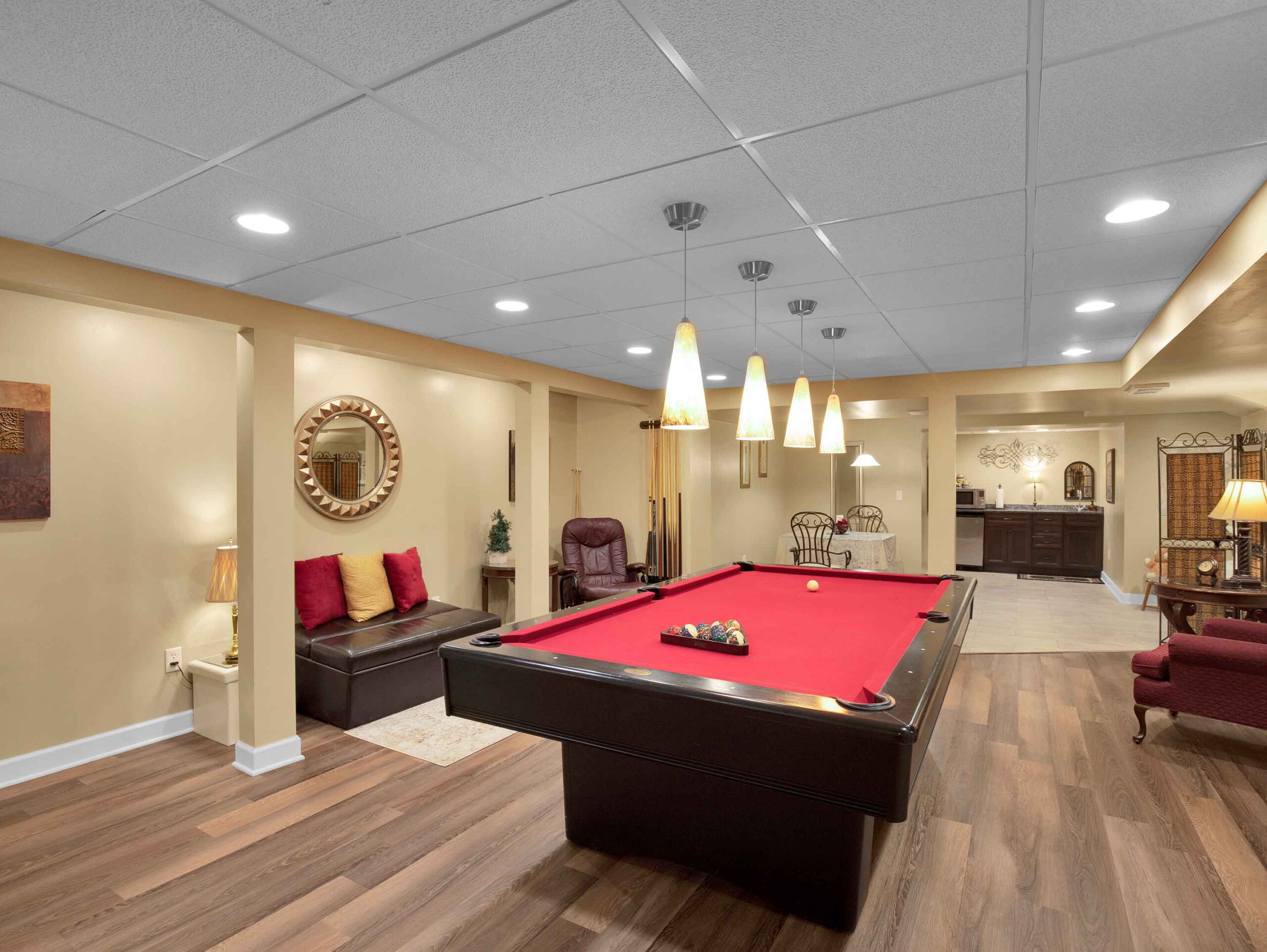
Real Estate Photo Package
10–15 high-resolution aerial photos
30+ Real Estate
Photos
Online gallery for easy MLS upload
Basic color correction & editing
48 hours
$199
Video + Photo Package
Everything in the Photo Package
Branded intro/outro with agent contact info
60–90 second cinematic aerial video
Interior FPV walkthrough clip (30–45 sec)
Licensed music track
$349
Best Value
Premium Listing Package
Everything in
Video + Photo
Priority 24-hour
turnaround
1 FREE twilight
photo
Interior FPV walkthrough clip (30–45 sec)
$499
Monthly
Subscription Plan
Everything in the Premium Package
Perfect for offices with multiple agents
Or, for agents with multiple listings
Up to 10 listings
per month
Everything included
$649

Commercial Real Estate Packages
Commercial Photo Package
15–20 aerial + 20 ground photos
Delivered within 48 hours
Property boundary overlay on 1 photo
$299
Commercial Video + Photo Package
Everything in Commercial Photo
1 FREE twilight photo
90-second cinematic aerial video
Property outline/boundary graphics in video
$549
Vacant Land / Acreage Package
Full-parcel aerial photo set – 24 images
Optional: acreage video flyover — $150 add-on
Boundary line overlay
$249

Roof Inspections
Standard Roof Inspection
Full aerial roof survey (all angles)
PDF report suitable for insurance claims
High-res photos flagging visible damage
Delivered same day or next business day
$175
Storm Damage Rush Inspection
Same as Standard, with same-day turnaround
Priority scheduling within 24 hours of request
$225
Your Satisfaction is Guaranteed!


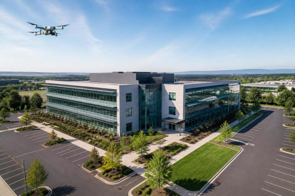
Premium Commercial Drone Solutions & Property Marketing
Based in Rockford, Illinois, Droneworx Photography delivers FAA Part 107 certified drone services
and high-end traditional real estate photography across Northern Illinois and Southern Wisconsin.
We provide commercial real estate agents, construction managers, land developers, and engineers
with accurate aerial data, cinematic property tours, and high-resolution imaging designed to speed
up sales and streamline project management.
Our Specialized Aerial & Architectural Imaging Solutions
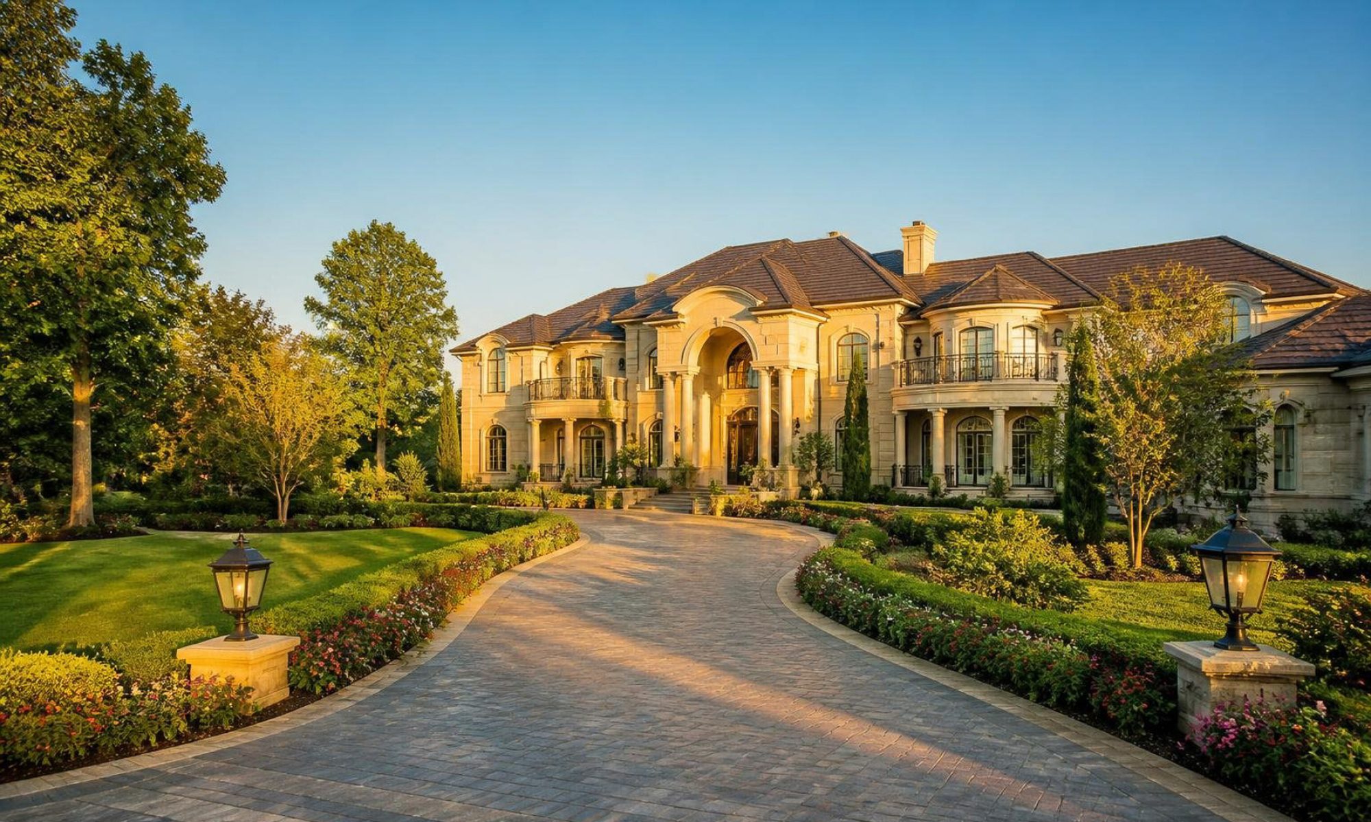
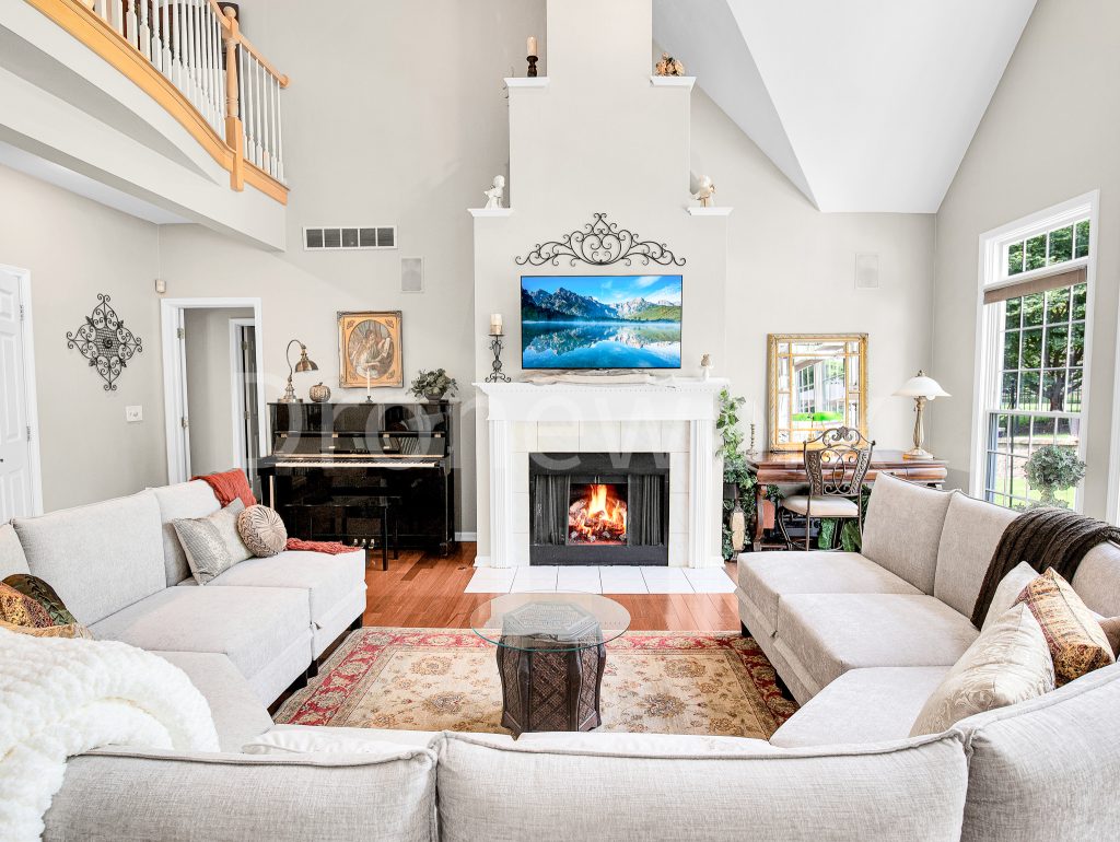
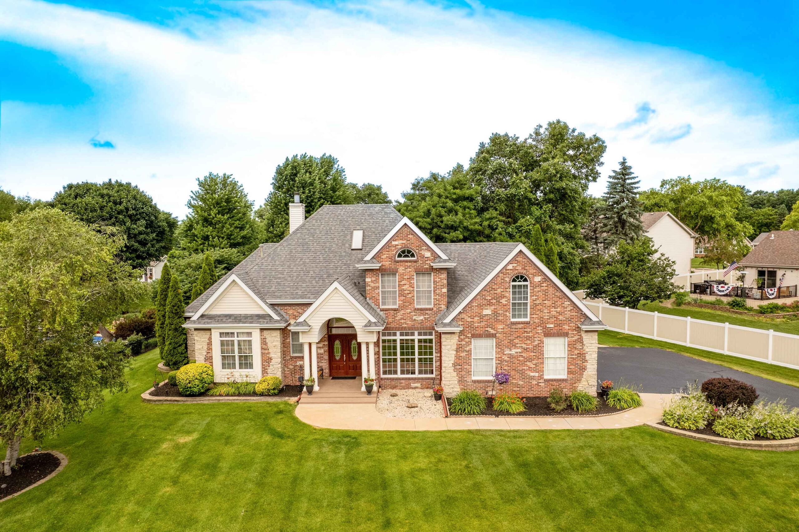
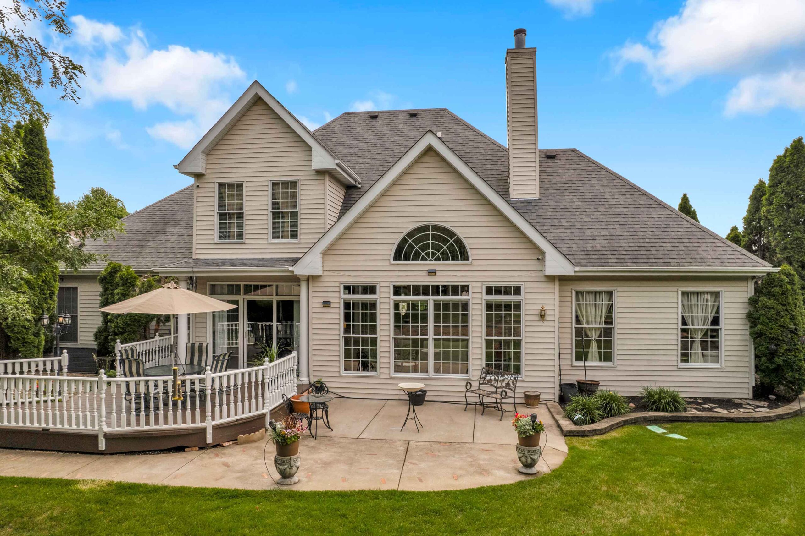
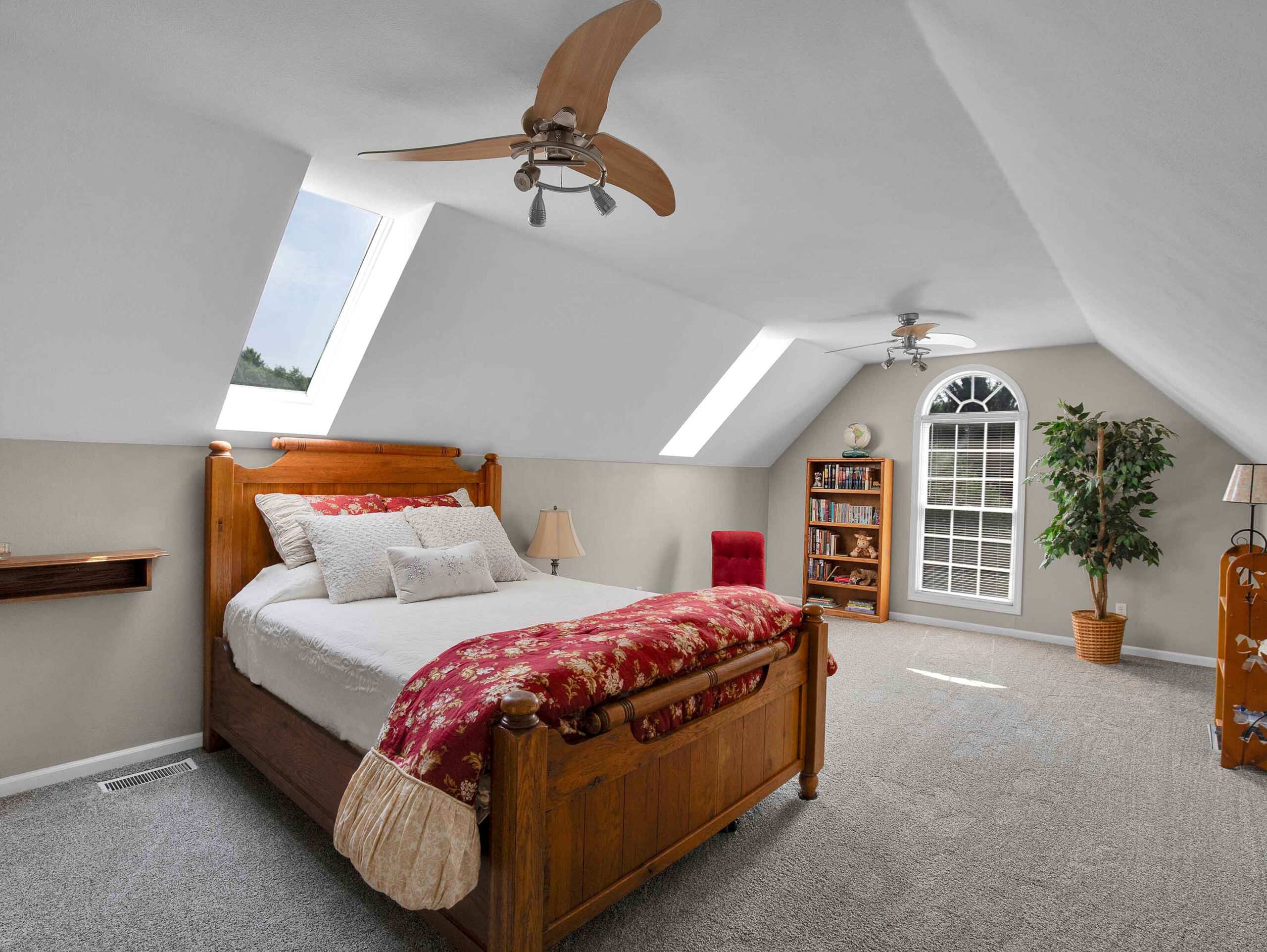
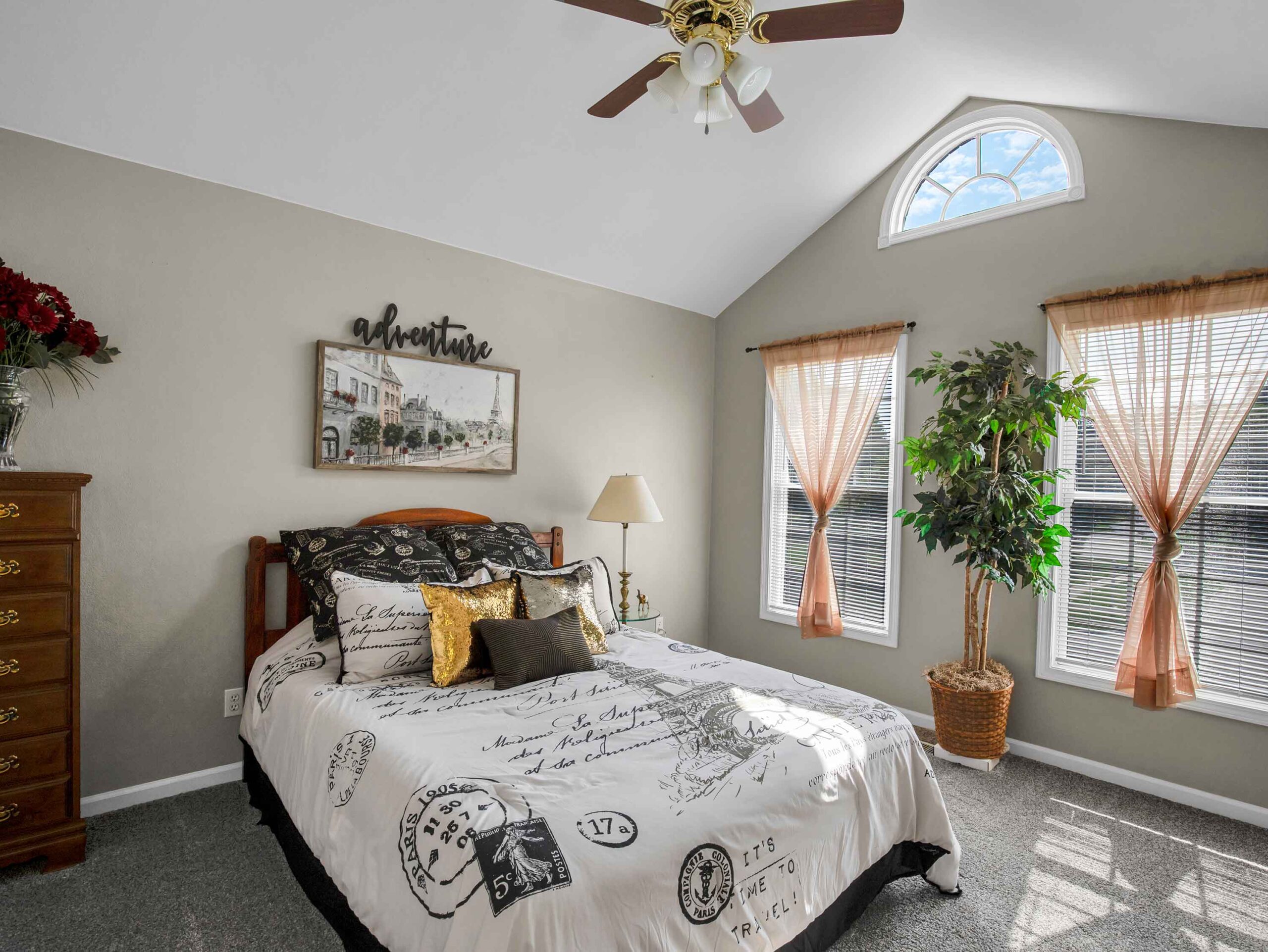
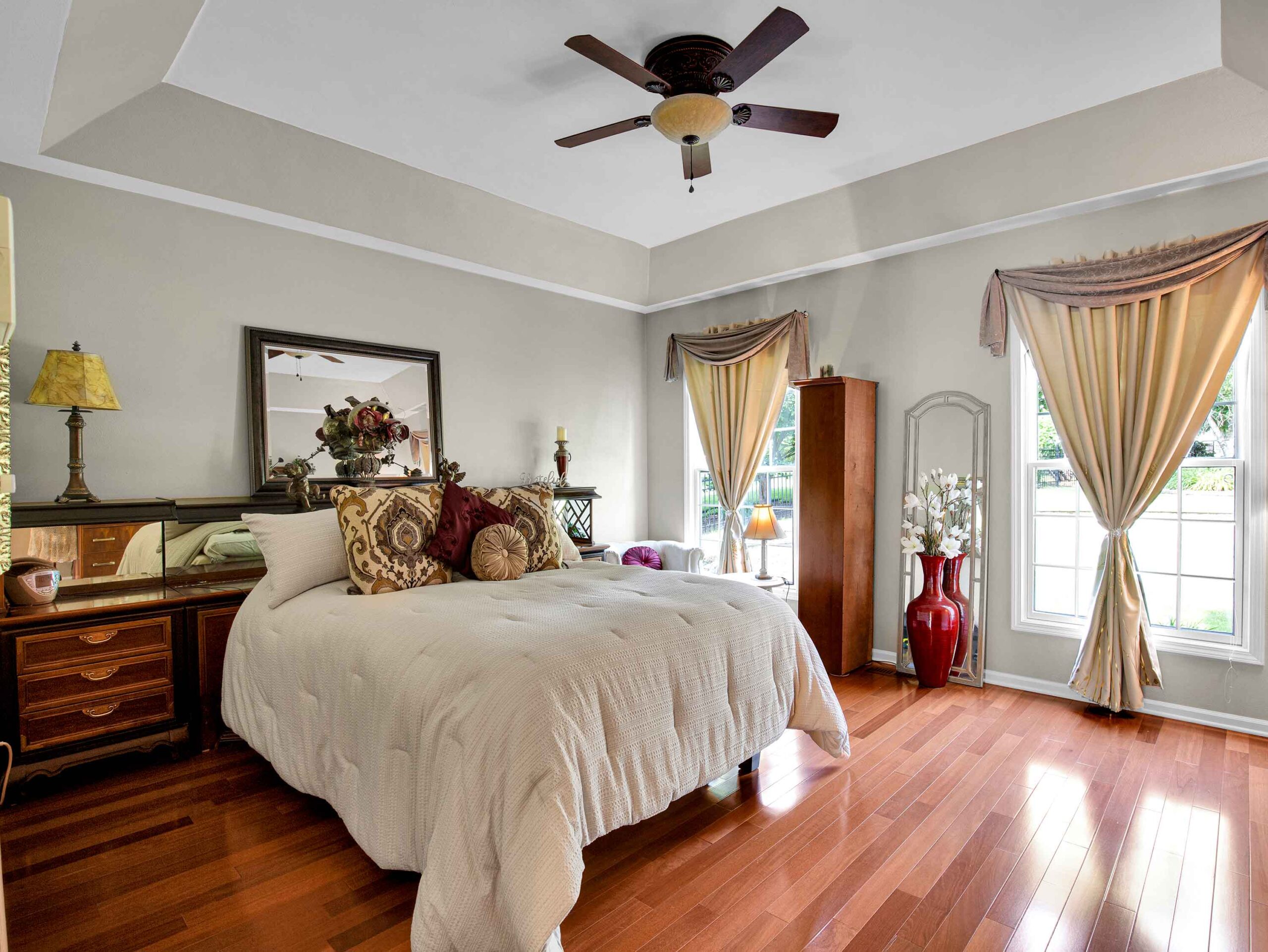
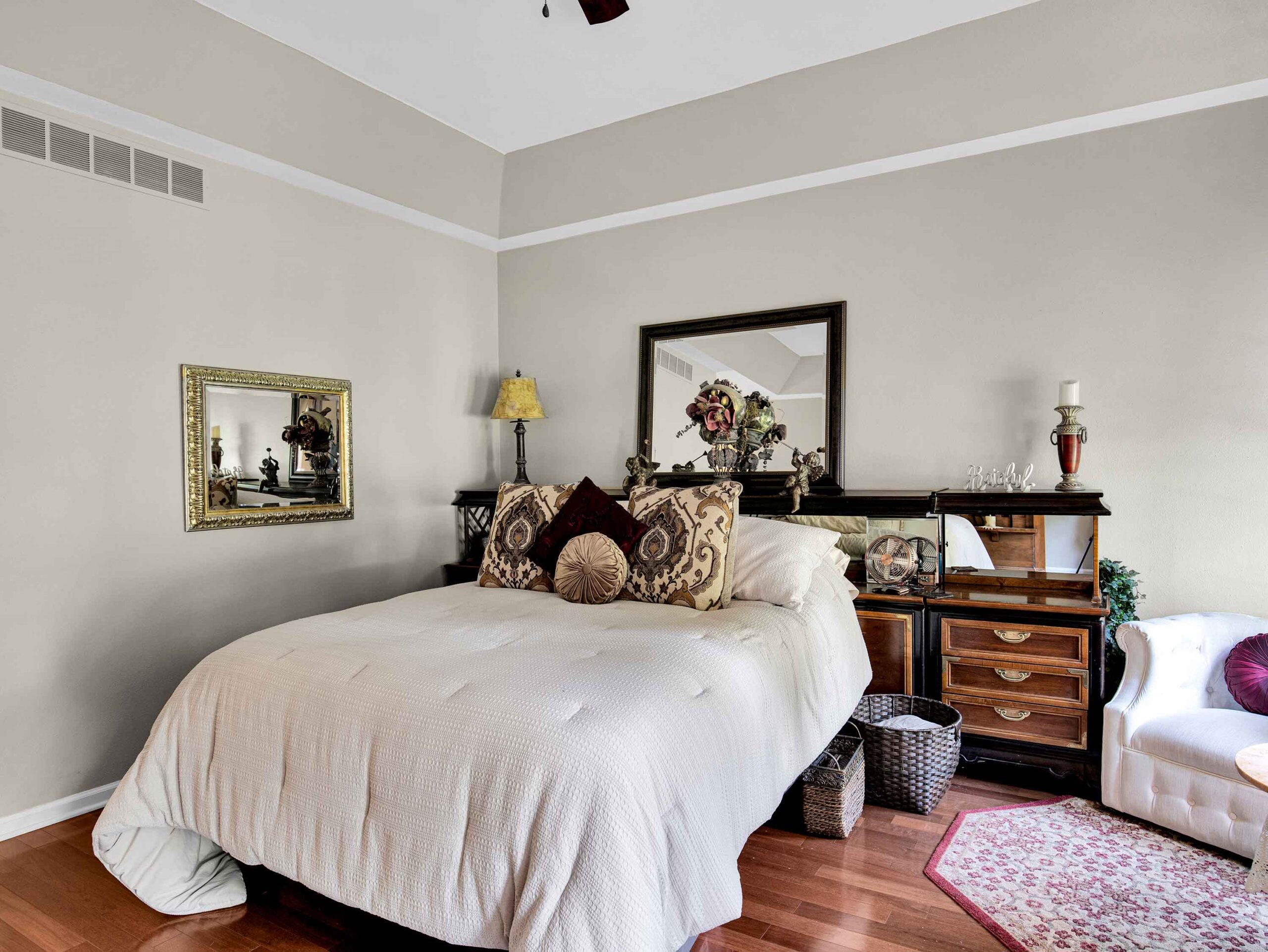
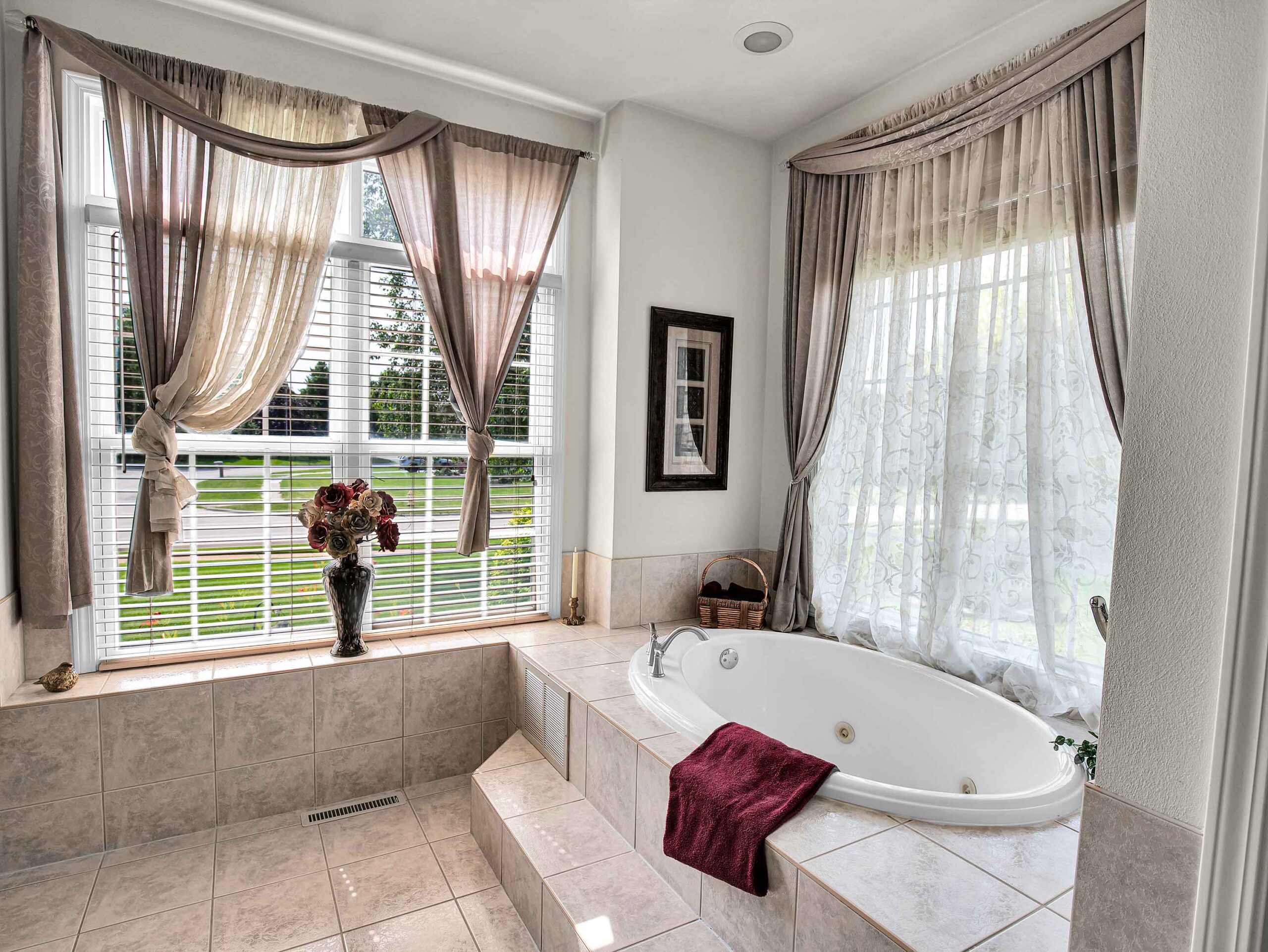
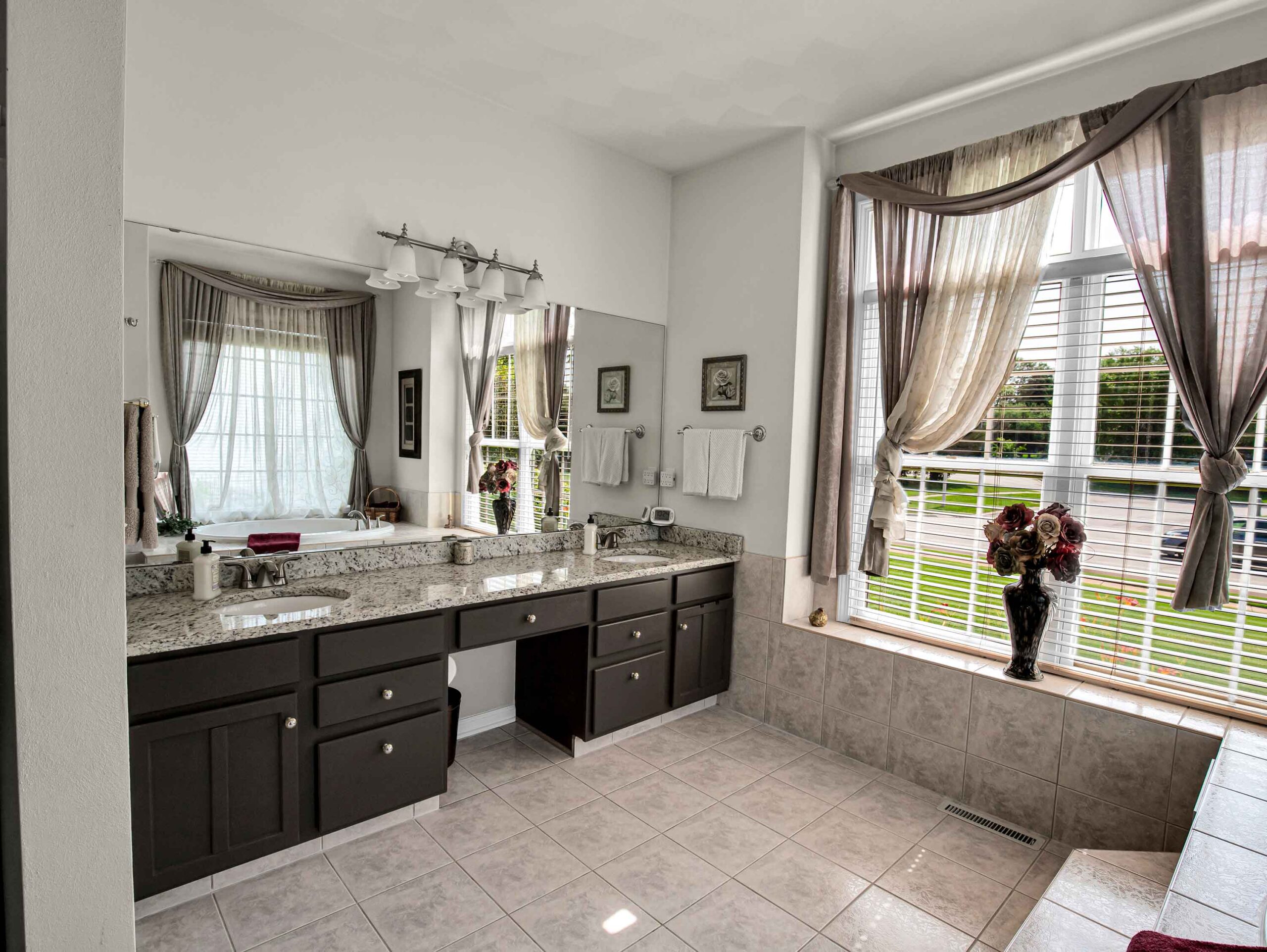
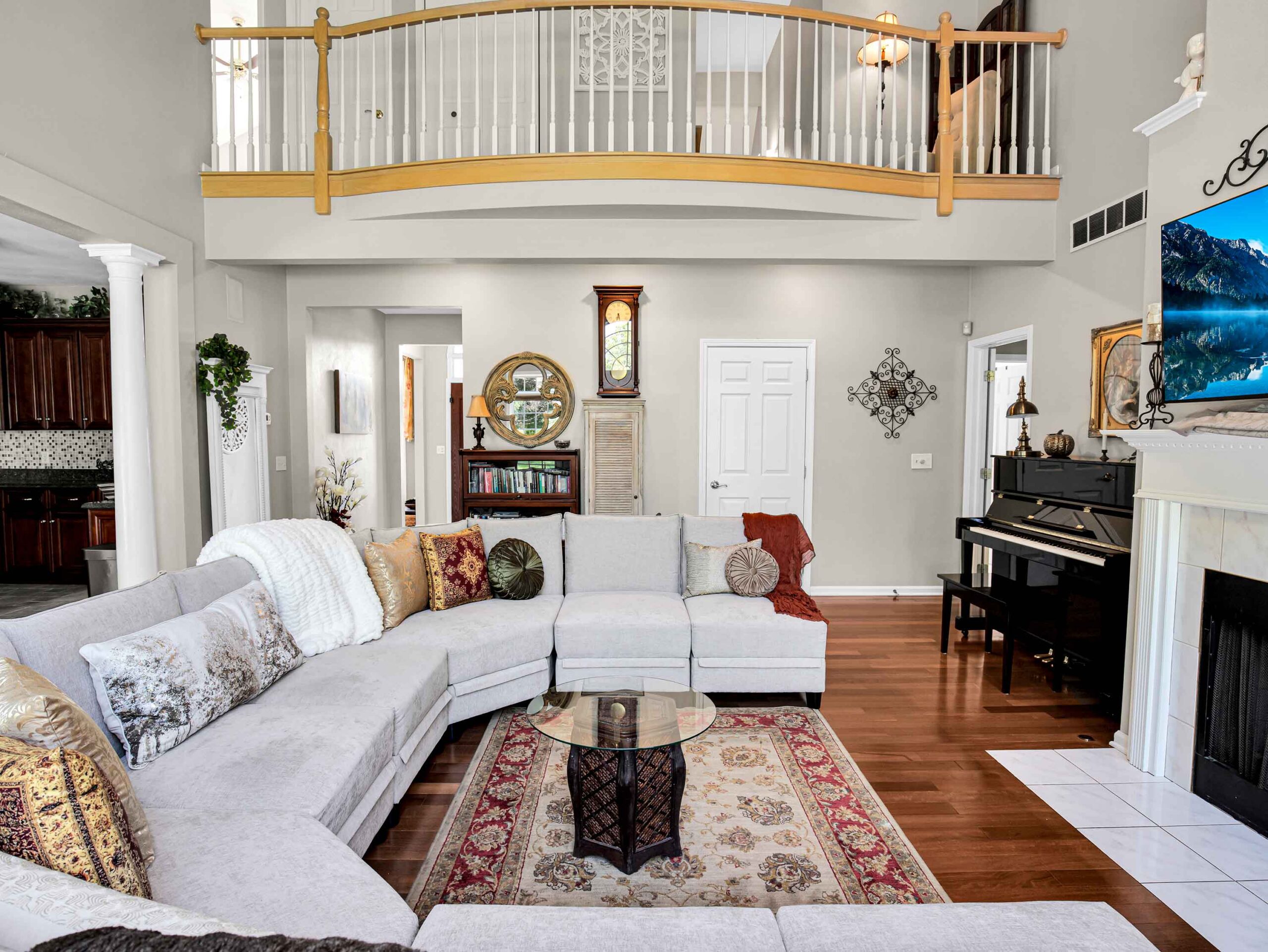
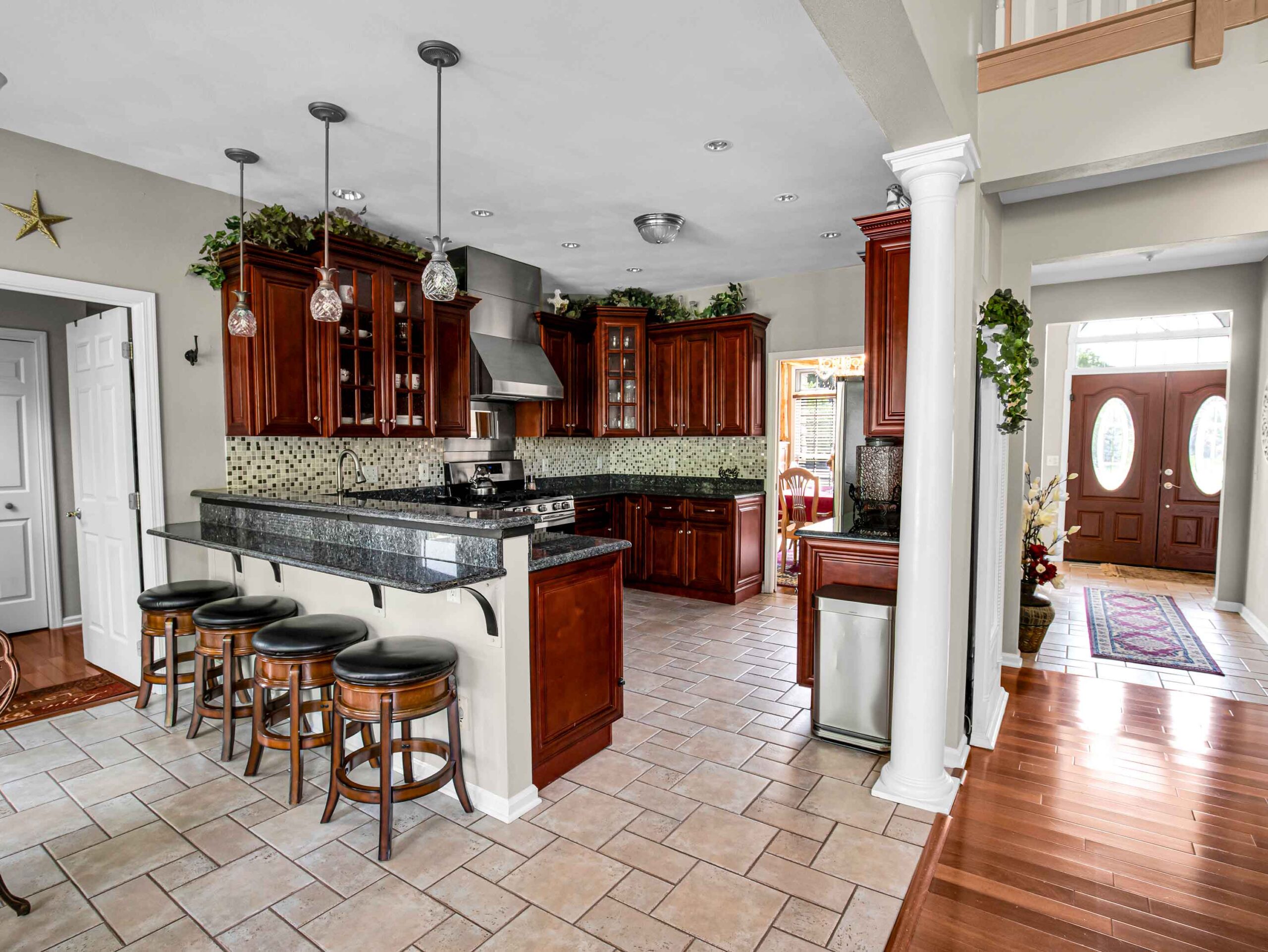
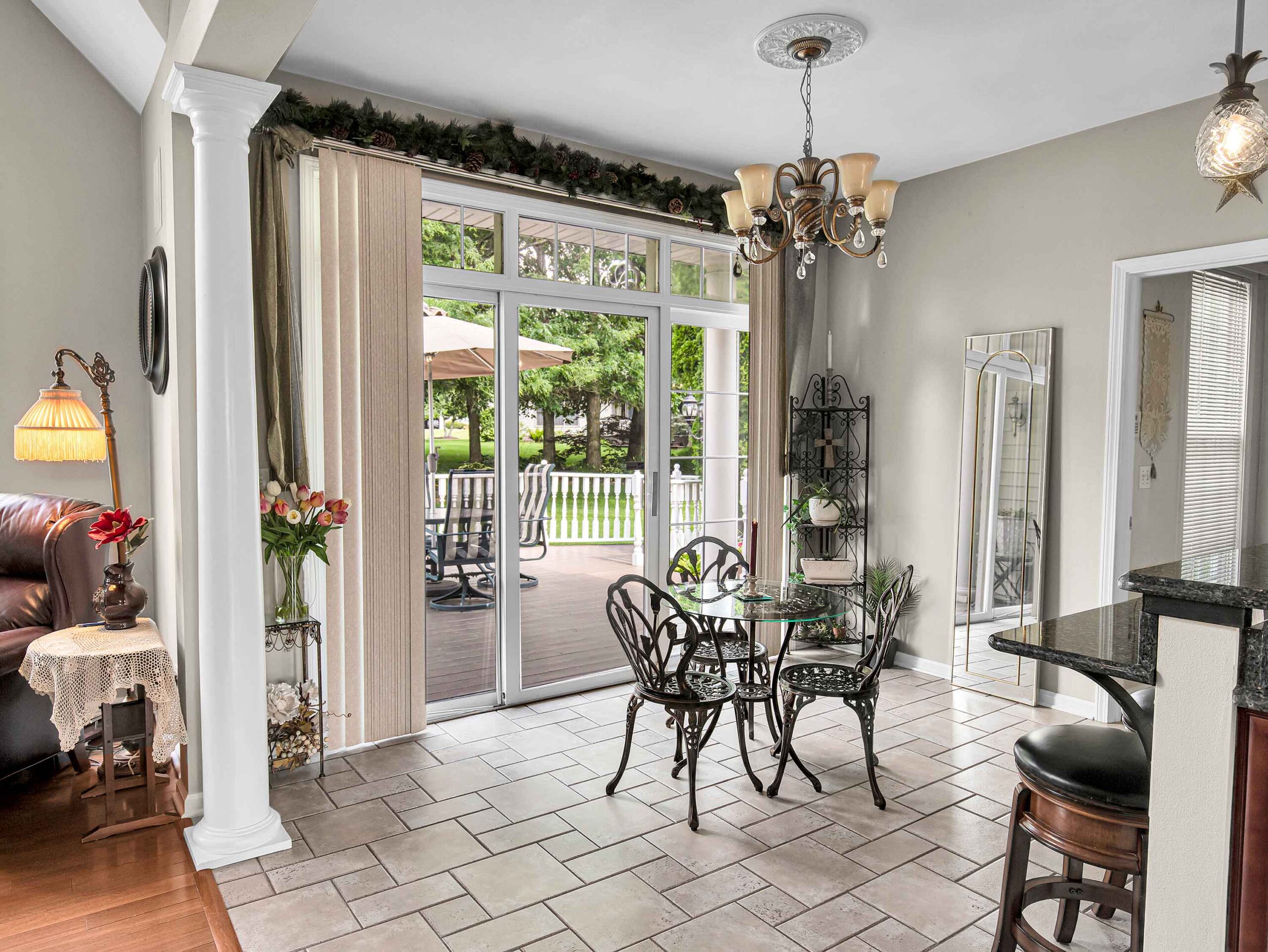
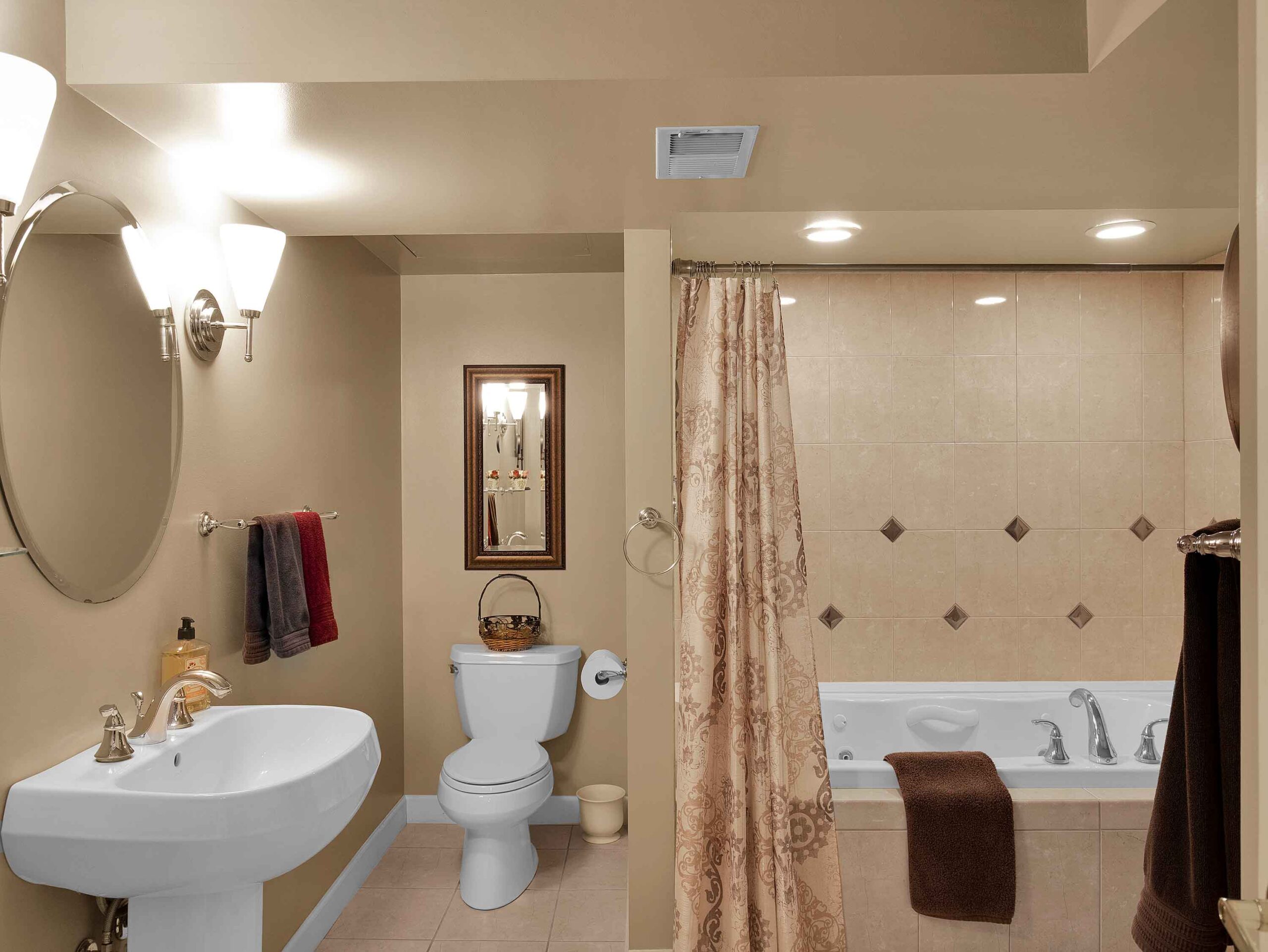
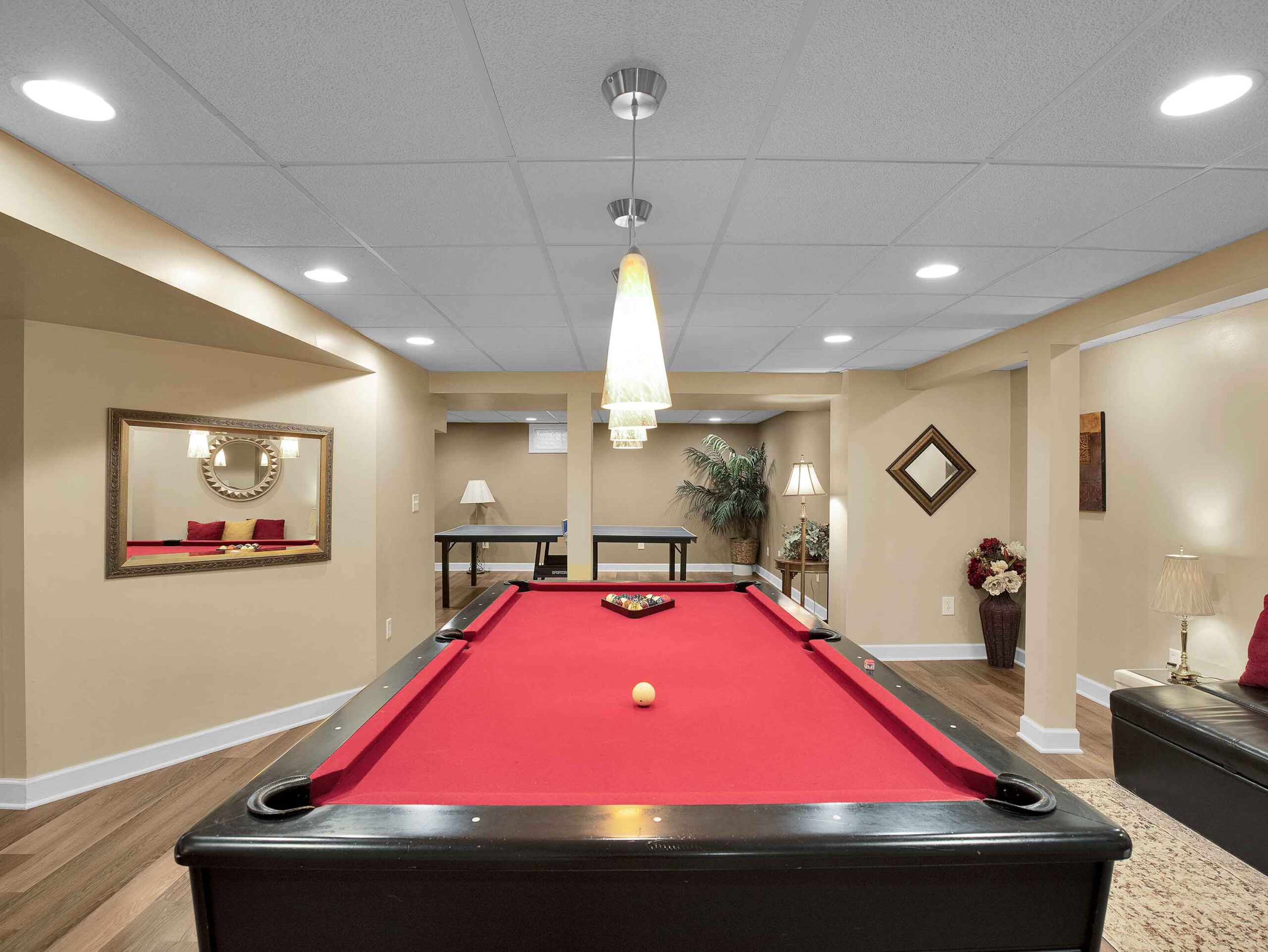
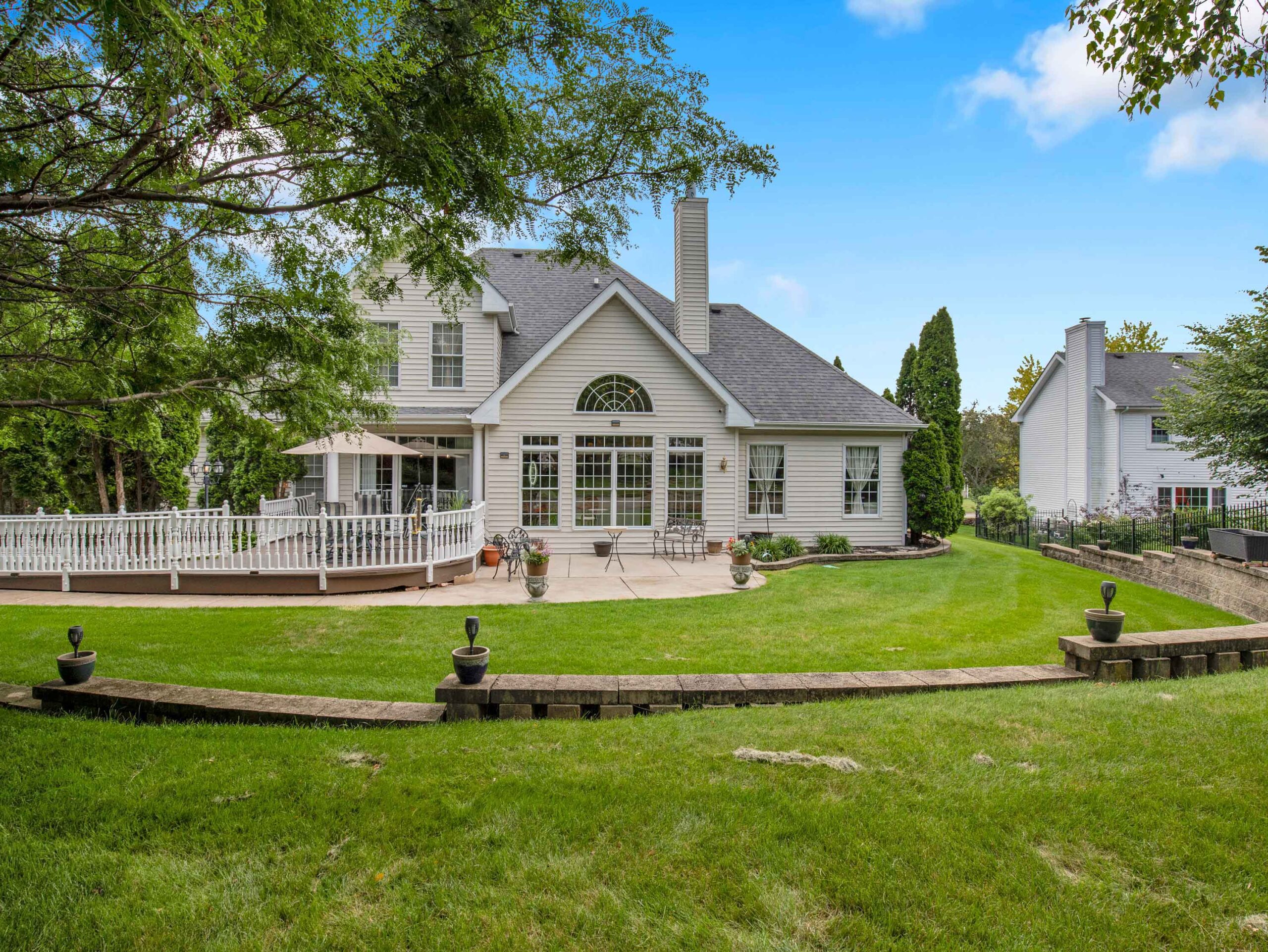
Real Estate & Architectural Photography
High-resolution interior and exterior imagery utilizing advanced HDR exposure processing. We capture crisp, beautifully lit spaces that capture attention on the MLS and commercial property portals across the Rockford metro area.
True HDR photography, wide-angle interior views, twilight imaging.
Cinematic Drone Video & FPV Tours
Immersive marketing assets designed for modern digital platforms. From sweeping high-altitude property boundaries to ultra-smooth FPV (First-Person View) interior fly-throughs that give buyers a dynamic, seamless walkthrough of your luxury listings.
4K UHD video resolution, stabilization tracking, seamless indoor FPV piloting.
Aerial Mapping, Photogrammetry & 3D Modeling
Precise technical data solutions tailored for land development, construction tracking, and civil engineering. We generate high-accuracy digital assets that save your crew time and reduce project oversight costs.
High-resolution orthomosaic maps, topographic surveys, 3D site models, and volumetric analysis.
Fully Certified, Insured, and Trusted Local Experts
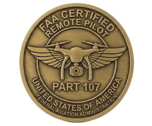
Every flight handled by Droneworx Photography is executed by a licensed, FAA Part 107 certified remote pilot.
We maintain comprehensive commercial liability insurance tailored for drone operations,
ensuring complete site safety and strict compliance with all local and federal airspace regulations.
Whether navigating dense Rockford commercial zones or expansive rural developments, safety and legality are our highest priorities.
Proudly Serving Northern Illinois & Southern Wisconsin
From our home base in Rockford, our mobile units regularly travel to provide professional drone photography and mapping services to clients throughout the region, including:
Illinois – Rockford, Loves Park, Machesney Park, Belvidere, Freeport, and the surrounding Winnebago, Boone, and Stephenson counties.
Wisconsin – Beloit, Janesville, and surrounding Rock County communities.
Frequently Asked Questions About Our Rockford Drone Services
Are you legally certified to shoot commercial drone footage in Rockford?
Yes. We are fully FAA Part 107 certified remote pilots. Federal law requires this certification for any drone operations that support a business, marketing effort, or commercial real estate listing.
What real estate photography services do you offer alongside drone work?
We provide a comprehensive, all-in-one media package. This includes high-resolution traditional HDR interior/exterior architectural photography, FPV interior video walkthroughs, and detailed aerial boundary photos.
How long does it take to get the final images and mapping data back?
Traditional real estate photography and cinematic video clips are typically delivered within 24 to 48 hours. Complex technical data, such as large-scale orthomosaic maps and 3D photogrammetry models, are processed and delivered within 48 to 72 hours depending on site scale.
Testimonials
Real Estate Client

Construction Client

Commercial Property Client

Ready to take your project to the next level with professional drone photography services?
Contact Droneworx Photography today to schedule a consultation, request a customized quote, or discuss your aerial imaging and data collection needs.
Phone: 423.223.7153